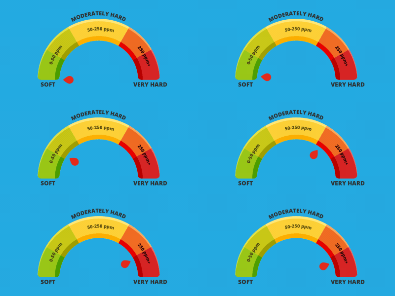
How hard is the water in Greater London?
Water hardness reading:
290 – 295ppm (very hard)

Greater London has exceptionally hard water
One thing that isn’t great about Greater London is its seriously hard water that flows through the mains. At 293 parts per million (averaged out across the area) Greater London has some of the hardest water in the country.
The reason why the water is so hard is because of the area’s chalk and limestone geology, which contains high levels of hard water-causing calcium and magnesium compounds. Rainwater is naturally soft but once it reaches the ground it becomes much harder.
This is far from ideal. Hard water washes the daylights out skin and hair, removing their natural softness and vibrancy. If you suffer from dry skin conditions, particularly eczema and dermatitis, they’ll not be improved with exposure to hard water. With softened water, you’ll see instant benefits. Skin and hair love the softness. So too, laundry, clothing, towels and bed linen.
Also, limescale is caused by hard water, collecting anywhere there’s a wet surface, especially on kitchen surfaces and on sinks, baths and shower screens. No matter how much you clean, the scale will keep returning. Water softeners stop limescale in its tracks. It can also play havoc with central heating systems, blocking pipework and water tanks. The system has to work ever harder to generate the right amount of heat and hot water – meaning higher fuel bills and likelihood of a boiler that will need replacing far sooner than necessary.
The best way to avoid all this hard water grief is to have an efficient, cost-effective Scott Jenkins Water Softener fitted in your home or business.
Greater London – an Overview
Annual rainfall: 557.4mm (21.95in).
Wettest month: October 61.1mm (2.41in).
Driest month: July 34.6mm (1.36in).
Greater London is a major administrative area comprising most of the continuous urban area of London, including the 32 London boroughs and the City of London. To its south and south-east, Greater London is bordered by Surrey and Kent.
Making up a land area of 607 square miles, as of 2022, the Greater London population stood at 8,855,333.
The defining geographical feature of the area is the River Thames, which enters Greater London territory near Hampton in the west. Flowing east, the river heads downstream via Dagenham. The land directly to the north and south of the river is flat, although it rises gently to low hills in either direction – particularly Hampstead Heath, Shooter’s Hill and Sydenham Hill. The area’s highest point (804ft) is Westerham Heights, which forms part of the North Downs.
Mains Drinking Water and Sewerage Services in Greater London
London’s mains water supply is managed by Thames Water and is sourced primarily from rivers, including the River Thames.


